Millaa Millaa Waterfall Circuit
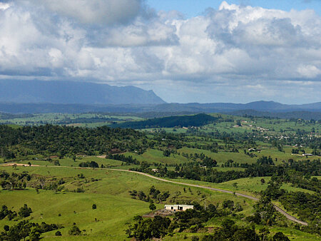
From Herberton take the Wondecla/Evelyn road and at the 25km mark take the McHugh Rd to Millaa Millaa i.e. don't follow on the Kennedy Highway to Ravenshoe. About 8km along you will see the road to the lookout on your right. Do not miss this – it is the best view north across the tablelands to the Lamb range and Mt Bartle Frere to the east.
 View from McHugh Lookout to the Lamb Range
 View of Mt Bartle Frere & Broken Nose to the east
The turn off for the waterfalls (Theresa Ck road) is 2km past Millaa Millaa on the left. The Millaa Millaa falls are signed off to the left after 1½km.
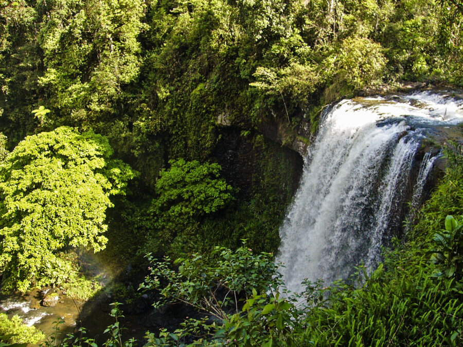
Continue on Theresa Ck road keeping right after 1½km and then 6km to Zillie Falls. Ellinjaa Falls are another 3km. You can walk down the zigzag track to the base of the falls. Continue on for 4km to the Palmerstone Highway and turn left for the drive down the range. The turn off to Mungalli falls is 5½km on the left.
Watch for Crawfords lookout (about 20km past Mungalli turnoff) on the left side – a fantastic view of the North Johnstone River far below. You can walk the track from here down into the valley to another great lookout over the N.Johnstone (about 1.6km).
 View from Crawford's lookout (Palmerston Highway)
If you have time, the Mamu Skywalk is 1km futher down on the left. With 350m of elevated walkway through the rainforest canopy, a cantilevered deck and observation tower – the views are spectacular.
The final part of the drive to complete the circuit runs under Queenslands two highest mountains – Mt Bartle Frere and Mt Bellenden Ker. This is a beautiful drive through the canefield lowlands crossing the N.Johnstone and Russell rivers, then from Babinda to Gordonvale and Cairns.
 Broken Nose & Mt Bartle Frere
 Mt Bellenden Ker
 Bartle Frere & Bellenden Ker ranges
Search:


